


China Supplier 3D Geomat for Erosion Control and Slope Protection
- Commodity name: China Supplier 3D Geomat for Erosion Control and Slope Protection
- Description
-

3D Geomat is a kind of geosynthetic cloth used in geotechnical engineering projects. It is designed to furnish reinforcement and steadiness to soil structures, such as preserving walls, embankments, and slopes. The special third-dimensional shape of Geomat permits for multiplied soil retention, expanded drainage, and stronger erosion control.
With its excessive tensile power and durability, 3D Geomat is a dependable answer for quite a number civil engineering applications. It is effortless to set up and cost-effective, making it a famous desire for development initiatives worldwide. Whether used for slope stabilization, land reclamation, or avenue construction, 3D Geomat gives gold standard overall performance and long-lasting results. Trust in the electricity of 3D Geomat to enhance the structural integrity and durability of your subsequent geotechnical project.
3D Geomat is a effective device used in a extensive vary of functions throughout more than a few industries. Its capacity to precisely seize and symbolize three-d facts makes it an valuable asset for specialists in fields such as engineering, construction, architecture, geology, and environmental science.
In the area of engineering, 3D Geomat is many times used for web site surveys, infrastructure planning, and design. By developing targeted 3D fashions of present terrain and structures, engineers are capable to precisely check the feasibility of building initiatives and perceive doable challenges earlier than they arise. This helps to streamline the graph and planning process, in the end main to extra environment friendly and least expensive task delivery.
In the building industry, 3D Geomat performs a vital function in venture management, visualization, and best control. By growing correct 3D fashions of building sites, builders are capable to become aware of clashes, errors, and inconsistencies in the plan early on, minimizing remodel and decreasing the probability of expensive delays. Additionally, 3D Geomat can be used for growth monitoring, permitting mission managers to song building pastime in real-time and make sure that work is being done in accordance to schedule.
Architects additionally advantage from the use of 3D Geomat in their layout process. By growing distinctive 3D fashions of constructing websites and surrounding environments, architects are capable to visualize their designs in context and discover special format choices extra effectively. This now not solely helps to enhance the basic diagram fine however additionally enhances conversation with purchasers and stakeholders by means of presenting a clear and practical illustration of the proposed project.
In the discipline of geology, 3D Geomat is used to analyze and visualize geological facts in three dimensions. By growing 3D fashions of subsurface structures, geologists are capable to higher recognize the spatial relationships between unique rock formations, fault lines, and mineral deposits. This records is essential for aid exploration, environmental assessment, and chance mitigation in mining and electricity industries.
Environmental scientists additionally matter on 3D Geomat for a range of applications, which include habitat mapping, land-use planning, and environmental have an impact on assessment. By growing 3D fashions of ecosystems and landscapes, scientists are capable to analyze the spatial distribution of species, verify the manageable influences of human activities, and increase techniques for conservation and sustainable development.
Overall, the purposes of 3D Geomat are widespread and diverse, making it an integral device for specialists working in a broad vary of industries. Its potential to precisely seize and visualize 3-dimensional statistics gives treasured insights and enables higher decision-making in engineering, construction, architecture, geology, and environmental science.


Packaging: Standard packaging or customer's requirements
Lead time: Within 10-15 days after receiving the deposit payment
Producing Capacity: Two 40ft Containers per week


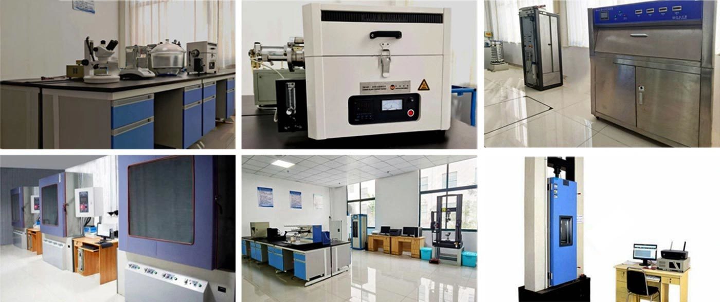
Testing equipment
FAQ
Q: What can you buy from us?
A: Geomembrane,Geogrid,Geocell, Geotextile, Geocomposite,
Q: Can I have a sample?
A: Yes. And sample free.
Q: What's the payment terms?
A: T/T or L/C. Others could be negotiated.
Q: What's the delivery time?
A: 3-20 days after confirming order, detail delivery date should be decided according to production season and order quantity.
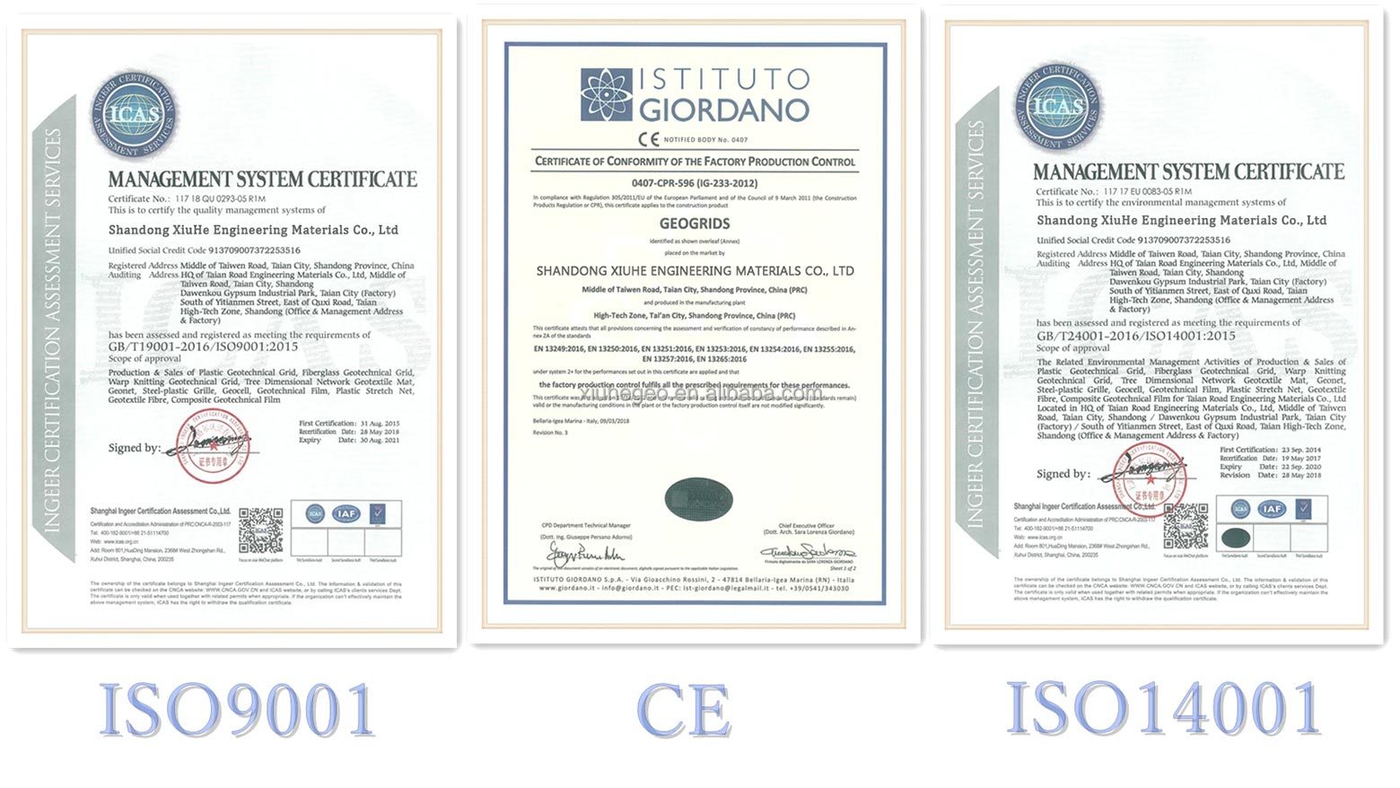
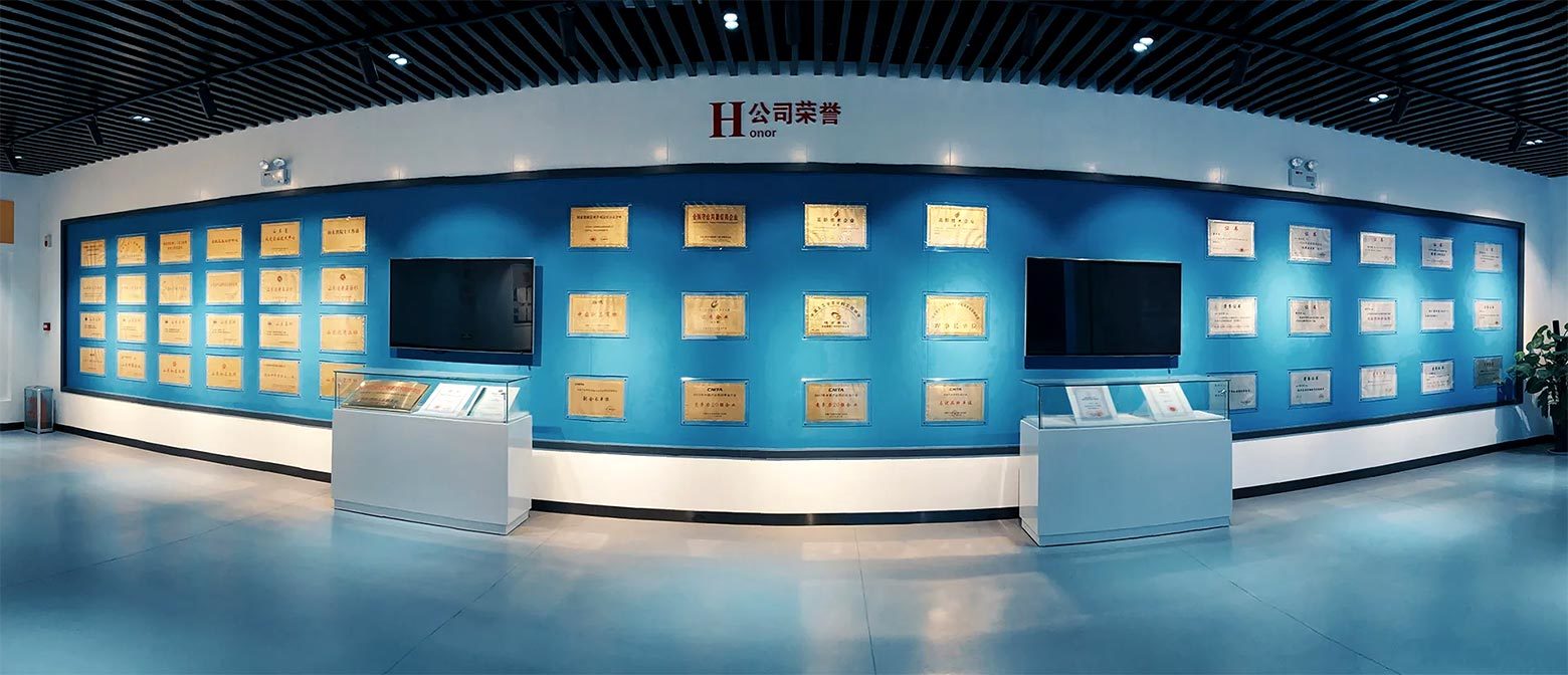
Certificate
Keywords:
Related Products
Our Main Products
Contact Us
Address:No. 366, Industrial Park North Road, Beijipo District, High-tech Zone, Taian City, Shandong Province,China
Get a Free Quote


