

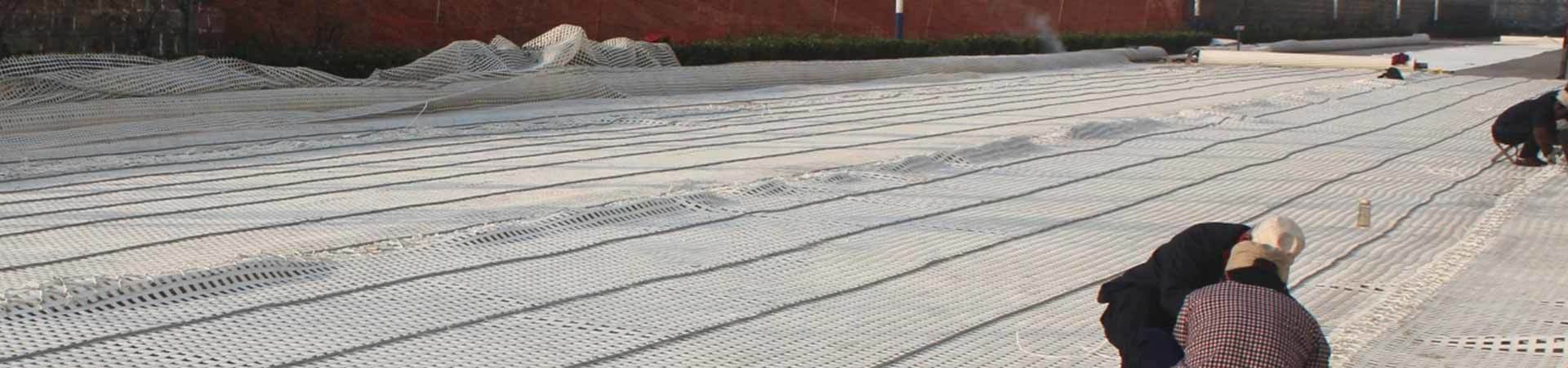
Understanding the role of a three-dimensional vegetation network
Release Time:
2024-05-13

The three-dimensional vegetation mesh is an essential tool for environmental researchers, ecologists, urban planners, and developers. It provides a detailed and accurate representation of the vegetation cover in a specific area, allowing for better analysis and decision-making processes.
One of the main uses of the three-dimensional vegetation mesh is in environmental impact assessments. By accurately mapping the vegetation cover, researchers can assess the potential impact of development projects on the local flora and fauna. This information is crucial in determining the best course of action to minimize negative effects on the environment.
Urban planners also benefit greatly from the use of three-dimensional vegetation meshes. By analyzing the distribution and density of vegetation in urban areas, planners can make informed decisions on green space allocation, tree planting initiatives, and overall urban greening strategies. This helps create more sustainable and livable cities for residents.
For developers, the three-dimensional vegetation mesh can be used to identify potential areas for landscaping and green infrastructure. By understanding the existing vegetation cover, developers can integrate green spaces into their projects, enhancing the overall aesthetics and environmental quality of the development.
In conclusion, the three-dimensional vegetation mesh is a valuable tool for a wide range of professionals working in environmental and urban planning fields. Its detailed and accurate representation of vegetation cover allows for better decision-making processes and helps create more sustainable and environmentally friendly developments.
Related News
Our Main Products
Contact Us
Address:No. 366, Industrial Park North Road, Beijipo District, High-tech Zone, Taian City, Shandong Province,China
Get a Free Quote


